'Saviour of Mountain' constantly updated
"Saviour of Mountain", a Signage Index Database System which has won a Special Citation (Innovation) of the Internal Service Team Award of the Civil Service Outstanding Service Award Scheme 2009, will be constantly updated to provide better protection for the public in the countryside.
The database mainly contains the signs, coordinates, and information on the facilities put up in country parks and mountain trails in New Territories North Region by government departments and public utilities. It even contains folklore signs and names that are not available on maps and not known to some government departments. In the event of emergencies in the countryside, these data can help the Force or other government departments plan and execute rescue, search or law enforcement operations.
The database is the brainchild of the New Territories North Quick Reaction Force (QRF). Following three years of research and preparation, the QRF uploaded the database onto its website on POINT about one year ago for the benefit of all Force members.
QRF Sergeant Chung Wing-shing, who made a presentation on the database system to an adjudication panel of the award scheme, stressed that since its inception, the information contained on the database has been subject to updating, adding that this process would continue.
"All sorts of changes might take place in the countryside, affecting the safety of members of the public. Therefore, we have to constantly monitor such changes and store updated information on the database," he noted.
Consisting of about 2,500 data entries, the database is ready with a drop-down menu format. After a user has selected search criteria, the system will provide vital information such as the time to, and distance from, a destination; the mode of transport to be used; locations of helipads in the New Territories, and the withdrawal route.
Explained SGT Chung: "In other words, if the database covers the area where the person requiring assistance is located, and even with scratchy information, rescue personnel can find the most probable position, work out an operation plan and quickly proceed to the scene. In addition, the system also provides an integrated route-plan function for officers on country park patrol to plan patrol routes and contingency procedures. The database can also help a field commander plan operations to investigate crime or track down suspects."
Citing the support the database has provided for frontline officers, SGT Chung said an elderly was saved in August in 2007 after losing her way and spending a night in the wilderness. In another case in January this year, officers used the database to successfully locate another elderly who got injured during hiking in the morning.
"In the past year, the Regional Command and Control Centre dealt with 113 calls for assistance in the countryside and in some cases made use of the information provided by the database. The two successful rescue operations show that with the database, precious time was saved in saving lives. 'Saviour of Mountain' will continue supporting frontline officers and providing quality services to the public," SGT Chung concluded.
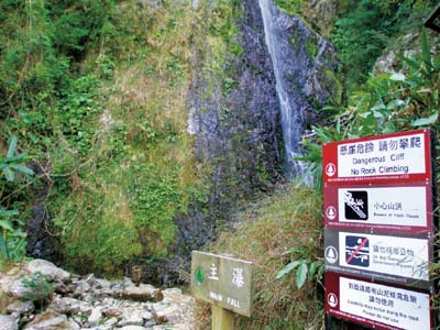 Some of the signs recorded on the database
-
English version only